California Gap Analysis Project's Predicted Distribution Map

Muskrat (Ondatra zibethicus)

Range maps

Metadata (Data about data or how the map was made)
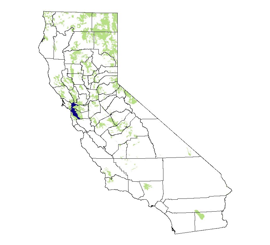
Legend:
= Core Habitat

Predicted Distribution
The purpose of the vertebrate distribution maps is to provide more precise information about the current distribution of individual native species within their general ranges than is generally available from field guides.

Most mammals do not migrate as birds do, so the colored areas depict the predicted range for the Muskrat year-round. The habitats were identified using satellite imagery, other datasets and experts throughout the state, as part of the California Gap Analysis Project.

Other maps & Information:
  • NatureMapping observations throughout the year

Webpage designed by Dave Lester