Washington Gap Analysis Project's Predicted Distribution Map
American White Pelican
(Pelecanus erythrorhynchos)
|
Legend:
 = Core Habitat = Core Habitat
 = Marginal Habitat = Marginal Habitat
Breeding Range Map
The green area shows the predicted habitats for breeding only. The habitats were
identified using 1991 satellite imagery,
Breeding Bird Atlas (BBA), other datasets and experts throughout the state, as part of the Washington Gap Analysis
Project. Habitats used during non-breeding months and migratory rest-stops were not mapped.
Other maps:
- Breeding Bird Atlas
- NatureMapping observations
during breeding season
- NatureMapping observations
throughout the year
|
|
Metadata
(Data about data or how the map was made)
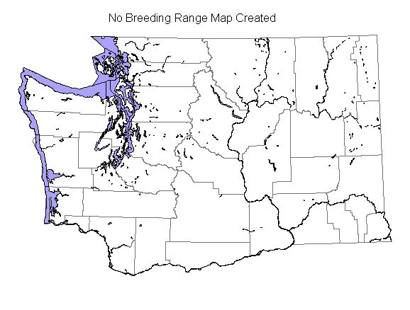
This species is a very local breeder on Crescent Island in the Columbia River and non-breeders are found locally
throughout the Columbia basin.
No habitat was modeled for this species.
The small colony discovered in 1994 on Crescent Island is the first known nest in Washington since 1926 and it
produced about fifty young. In 1996, human intrusions forced the pelican off the island, resulting in a late nesting season.
The Columbia River is also an important roosting area for non-breeding pelicans, especially the area around Hanford Reach.
Other summer records of non-breeding birds come from large lakes and reservoirs in eastern Washington below the Ponderosa
Pine zone.
Translated from the Washington Gap Analysis Bird Volume by Uchenna Bright
Text edited by Gussie Litwer
Webpage designed by Dave Lester