Home | About Us | How to Participate | Biodiversity Modules | Projects | Maps | Facts | Resources
Home | About Us | How to Participate | Biodiversity Modules | Projects | Maps | Facts | Resources
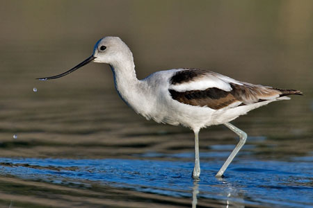
Species Code: REAM
|
This species was locally common in freshwater ponds and wetlands of the Columbia Basin. They are known from Soap Lake in Okanogan; Lake Lenore, Coulee City, and vicinity in Grant and Douglas Counties; the Potholes area and associated waterways in Grant and Adams Counties; Reardan in Lincoln County, Crow Butte State Park in Benton County; Grandview and Bryan Lagoons in Yakima County; and various other scattered locations.
Good habitat in the core areas of use included all freshwater bodies and wetlands in the Central Arid Steppe, Three-tip Sage, Wheatgrass/Fescue, and Big Sage/Fescue zones, but they are limited to the areas with breeding evidence.
Recent years give no breeding records north of the Columbia River except those near Brewster in the southern Okanogan valley.
Translated from the Washington Gap Analysis Bird Volume by Uchenna Bright
Text edited by Gussie Litwer
Map by Dave Lester

 = Core Habitat
 = Marginal Habitat