
Home | About Us | How to Participate | Biodiversity Modules | Projects | Maps | News | Resources
Home | About Us | How to Participate | Biodiversity Modules | Projects | Maps | News | Resources
Species Code: RIRI
Legend: Breeding Range Map Metadata (Data about data or how the map was made) Click to enlarge distribution map Map with Breeding Bird Atlas records
|
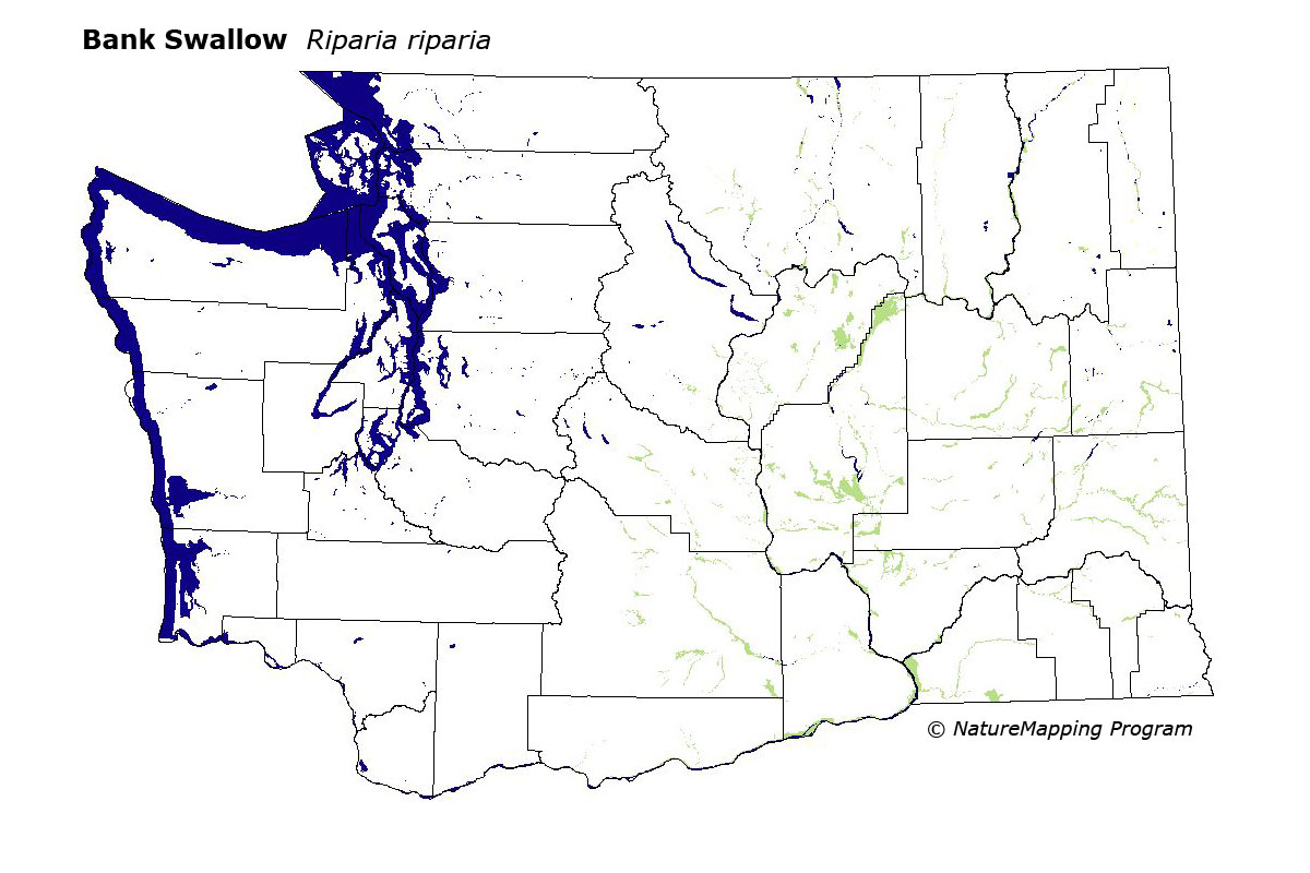
The Bank Swallow is locally common in eastern Washington in areas near water or wetlands below the lower treeline, and into the lower forest zones of northeastern Washington.
Core zones throughout were steppe, Oak, and Ponderosa Pine. Peripherally it was also found up to (and including) Interior Douglas-fir in the Cascades, Interior Western Hemlock in the northeast, and Grand Fir in the Blue Mountains. Good habitats were water/wetlands.
For the most part, Bank Swallows occur in treeless areas in eastern Washington, but they are also common along major northeastern river valleys. Bank Swallows need soft banks in which to burrow.
Translated from the Washington Gap Analysis Bird Volume by Uchenna Bright
Text edited by Gussie Litwer
Webpage designed by Dave Lester
 = Core Habitat
 = Marginal Habitat