
Home | About Us | How to Participate | Biodiversity Modules | Projects | Maps | News | Resources
Home | About Us | How to Participate | Biodiversity Modules | Projects | Maps | News | Resources
Species Code: PAHU
Legend: Breeding Range Map Metadata (Data about data or how the map was made) Click to enlarge distribution map Map with Breeding Bird Atlas records
|
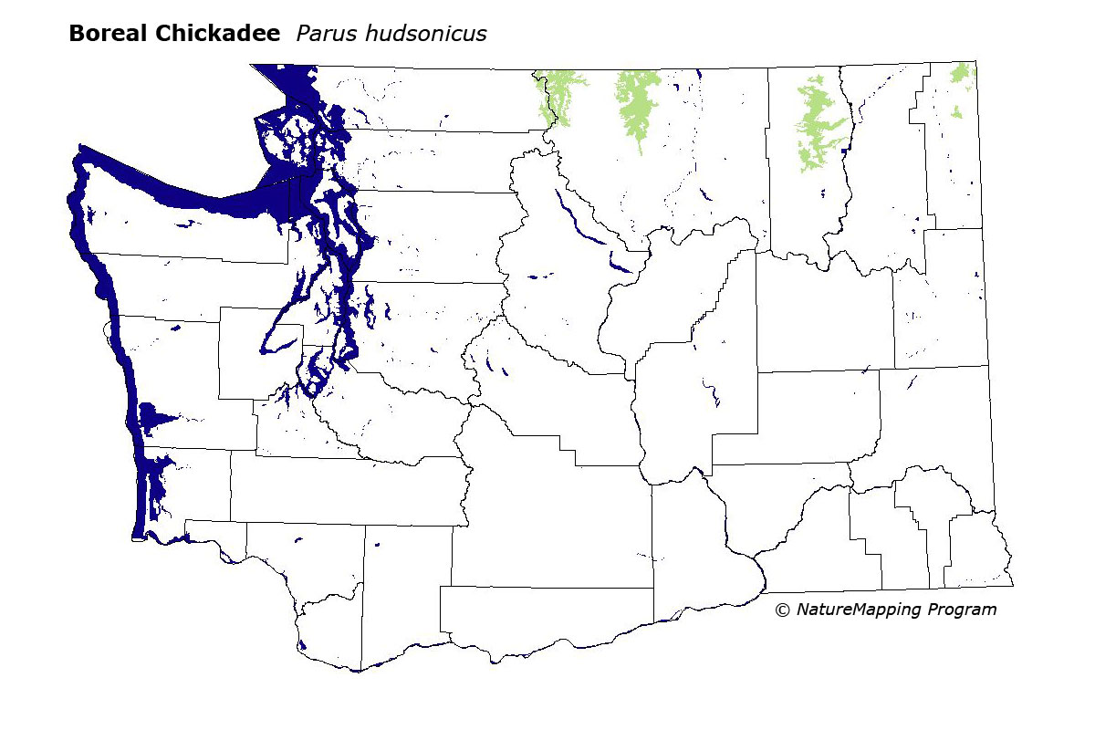
This chickadee is locally common in high elevation forests of the North Cascades, Kettle, and Selkirk Mountains. Breeding-season records are only known from Whatcom, Okanogan, Ferry, and Pend Oreille Counties.
Good habitat in core zones included all conifer forests in the Subalpine Fir and Alpine/Parkland zones in the areas mentioned above.
It is probable that two subspecies of the Boreal Chickadee breed in Washington: P.h. cascadensis in the Cascades, is extremely limited and occurs only in the cascade range of northern Okanogan County in Washington and southern British Columbia. The second species, P.h.columbianus, in the Kettle Range and Selkirks, is more widespread through "Columbian" wet forests at high elevations. In Washington, the Boreal Chickadee is closely tied to the presence of Engelmann Spruce, which is limited to high elevations here.
Translated from the Washington Gap Analysis Bird Volume by Uchenna Bright
Text edited by Gussie Litwer
Webpage designed by Dave Lester
 = Core Habitat
 = Marginal Habitat