
Home | About Us | How to Participate | Biodiversity Modules | Projects | Maps | News | Resources
Home | About Us | How to Participate | Biodiversity Modules | Projects | Maps | News | Resources
Species Code: OCFU
Legend: Breeding Range Map Metadata (Data about data or how the map was made) Click to enlarge distribution map
|
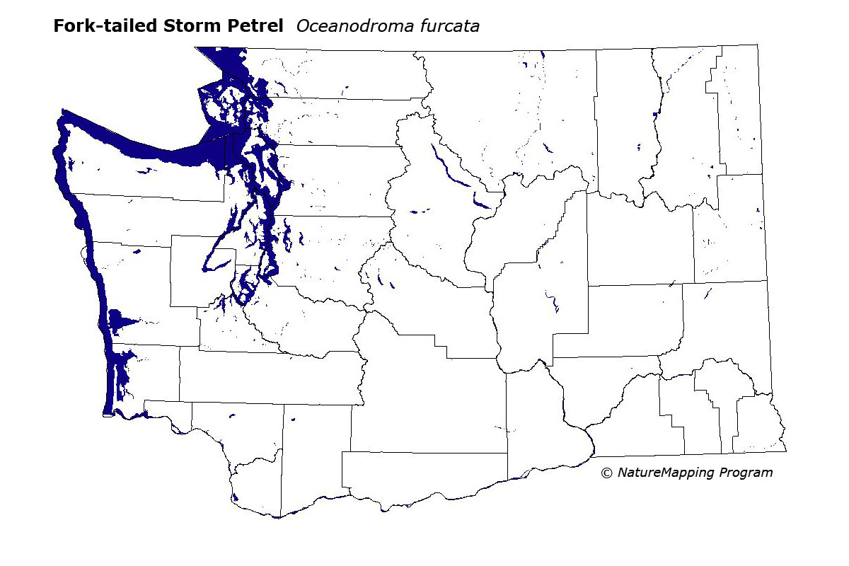
This species is locally common on offshore islands along Washington's outer coast between Grey's Harbor and Cape Flattery. These birds are more restricted in range and less abundant than LeachŐs Storm Petrel.
Good habitats in core areas of use were coastal habitats in the Sitka Spruce limited to Tatoosh, Mid Bodelteh, East Bodelteh, Carroll, and Alexander Islands
The first confirmed nesting record was from the Bodelteh group of islands in 1960. Data are scarce from the BBA period for colonial nesting seabirds due to logistical problems of censusing offshore islands.
Translated from the Washington Gap Analysis Bird Volume by Uchenna Bright
Text edited by Gussie Litwer
Webpage designed by Dave Lester
 = Core Habitat
 = Marginal Habitat