
Home | About Us | How to Participate | Biodiversity Modules | Projects | Maps | News | Resources
Home | About Us | How to Participate | Biodiversity Modules | Projects | Maps | News | Resources
Species Code: PHPEL
Legend: Breeding Range Map Metadata (Data about data or how the map was made) Click to enlarge distribution map
|
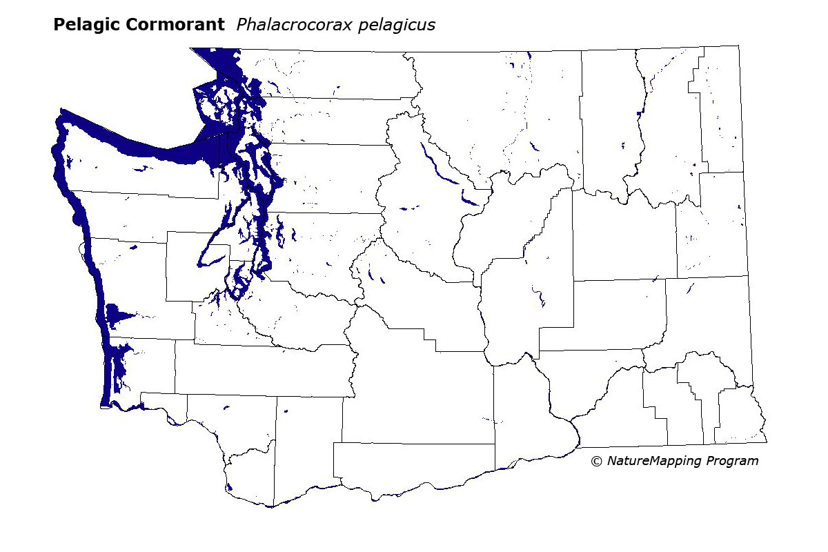
This species is locally common on rocky cliffs and offshore islets and inland waters. They may also be found nesting in the southernmost Puget Sound region.
Good habitats in the core areas of use included rock-cliff habitat in the Sitka Spruce and Puget Sound Douglas-fir zones along the waterways mentioned above.
Data are scarce from the BBA period for colonial nesting seabirds due to logistical problems of censusing offshore islands. Numerous smaller colonies exist throughout the area mentioned above. There have been reports of significant increases of this species on Protection Island from 1976-1984. There were also reports of an increase from 1200 to 2200 nests along the outer coast from 1985 to 1992 with populations fluctuating between 800-1200 nests.
Translated from the Washington Gap Analysis Bird Volume by Uchenna Bright
Text edited by Gussie Litwer
Webpage designed by Dave Lester
 = Core Habitat
 = Marginal Habitat