
Home | About Us | How to Participate | Biodiversity Modules | Projects | Maps | News | Resources
Home | About Us | How to Participate | Biodiversity Modules | Projects | Maps | News | Resources
Species Code: CHAL
Legend: Breeding Range Map Metadata (Data about data or how the map was made) Click to enlarge distribution map
|
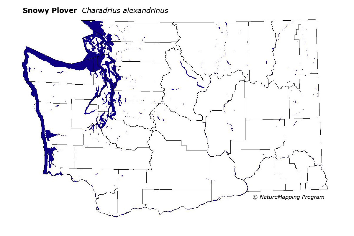
This species is very local and uncommon on the outer sandy beaches of Leadbetter Point and Damon Point. Currently, there are no other nesting sites.
Good habitat in the core areas of use for this species included sandy beach habitats in the Sitka Spruce zone, but only in Leadbetter and Damon Points.
The Snowy/Kentish Plover has a global distribution in tropical and temperate zones. They are very restricted in their habitat preference, and are easily disturbed by humans (and their associated cars, dogs, etc.). The Damon Point birds are the northernmost breeders for this species both on the Pacific Ocean and for North America. Inland populations breed in southeastern Oregon, and a few breeding-season records of single birds exist from eastern Washington, which suggests that eastern Washington may be a site for future colonization by this species. Former known nesting areas in Washington include Copalis Spit in Grays Harbor County and near Cape Shoalwater in Pacific County.
Translated from the Washington Gap Analysis Bird Volume by Uchenna Bright
Text edited by Gussie Litwer
Webpage designed by Dave Lester
 = Core Habitat
 = Marginal Habitat