
Home | About Us | How to Participate | Biodiversity Modules | Projects | Maps | News | Resources
Home | About Us | How to Participate | Biodiversity Modules | Projects | Maps | News | Resources
Species Code: BALO
Legend: Breeding Range Map Metadata (Data about data or how the map was made) Click to enlarge distribution map
|
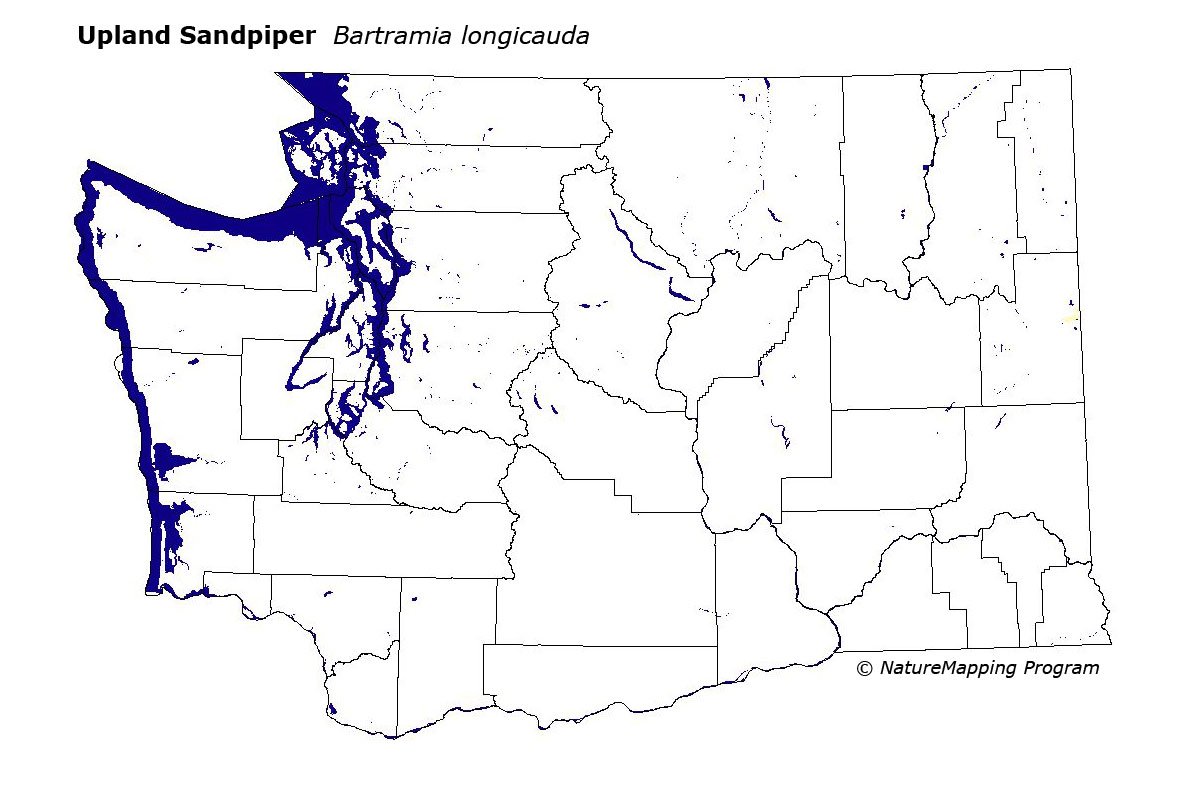
This species is probably extinct in Washington. They were formerly very local and rare breeders in eastern Spokane County in the Spokane valley between Spokane and Idaho. There have been no records since 1993. Their preferred habitat is grassy fields.
Good habitats in the peripheral areas of use were grassland and pastures in the Ponderosa Pine and Interior Douglas-fir zones near the Otis Orchards in Spokane County, as described above.
Adult and juvenile Upland Sandpipers have been recorded from the Spokane area since at least 1928, with the latest sightings from September 1993, and none have been recorded since. The Washington records are at the extreme periphery of the species' distribution in our area. Thus it is not surprising that numbers fluctuate, and the species has never been numerous here. The highest number of birds recorded is twelve, from the Spokane valley in 1980.
Translated from the Washington Gap Analysis Bird Volume by Uchenna Bright
Text edited by Gussie Litwer
Webpage designed by Dave Lester
 = Core Habitat
 = Marginal Habitat